North Lakes Park
Officially, North Lakes is a Soil Conservation-City of Denton shared space.
As to how that came about, there are two stories. One involved the long-planned flood control project in northwest Denton, while the other, involved the increased need for a park in the northern sector.
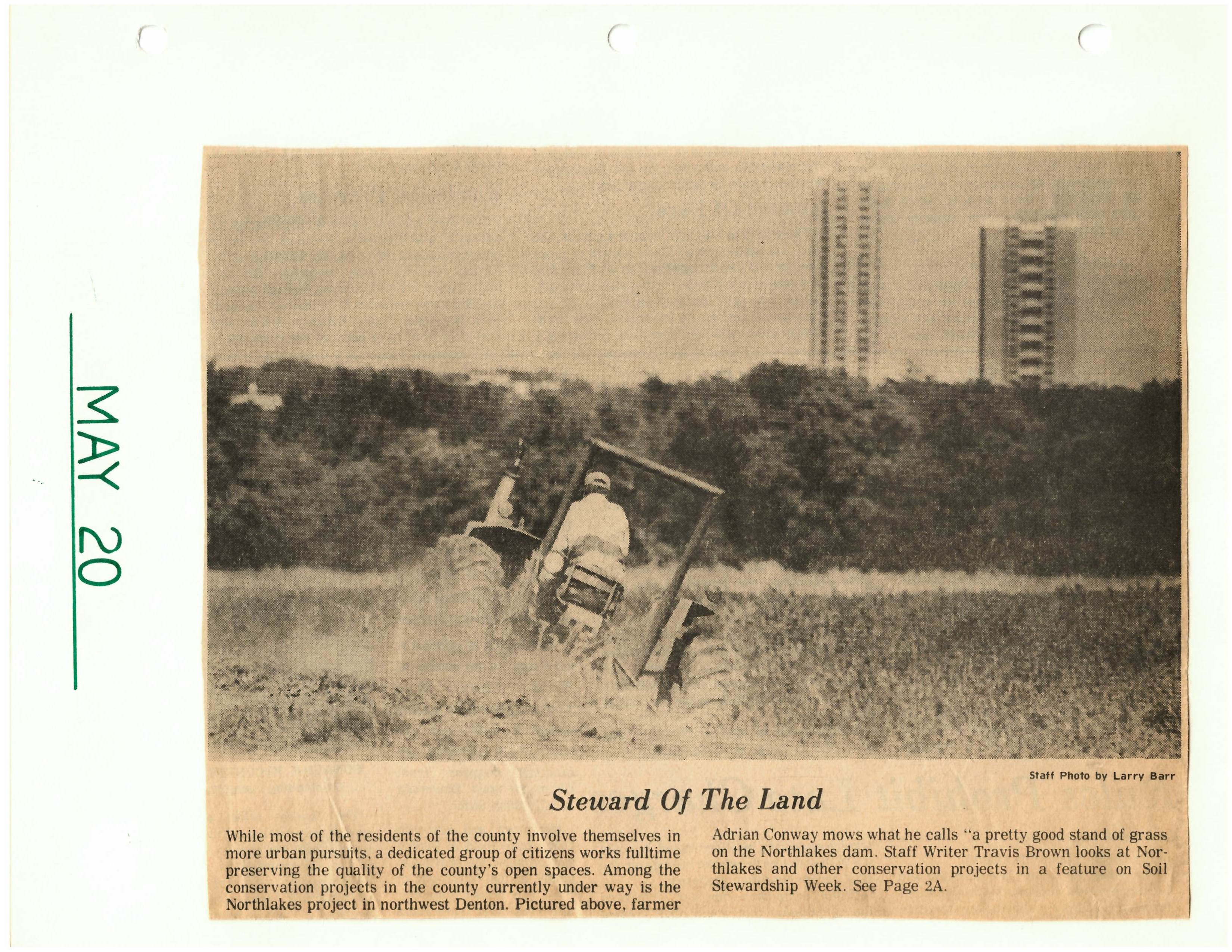
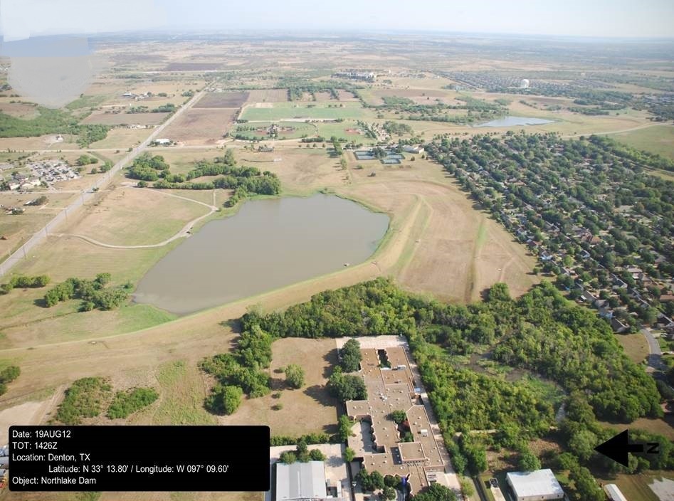
It was temporarily named the North Lakes Parks Project because the city needed a name for its project in order to get funds from the State Parks and Wildlife Association, however, the name stuck. Two reservoirs would be built to help prevent flooding along Denton's two major creeks: Cooper Creek and Pecan Creek.
The Land
In 1964, the Land and Water Conservation Fund Act (LWCF) was established by Congress to provide grants to communities so that they might purchase land for conservation and recreation purposes.
The U. S. Soil Conservation Service and the city had been talking about the feasibility of the project since then. With 351 acres, North Lakes turned out to be the best location. The grant would cover the cost of the $528,108.
Clearing the land and construction of the two lakes began in the latter part of 1974. Voters approved a $2.2 million parks and recreation bond program in 1975. The city began accepting bids later in the year to build a recreation center; except for some concrete picnic tables, the land sat undeveloped until the center was built.
The extension of Windsor Drive through the North Lakes between Hinkle Drive and Bonnie Brae Street would show up in a five-year bond package before the Planning and Zoning Board in 1977.
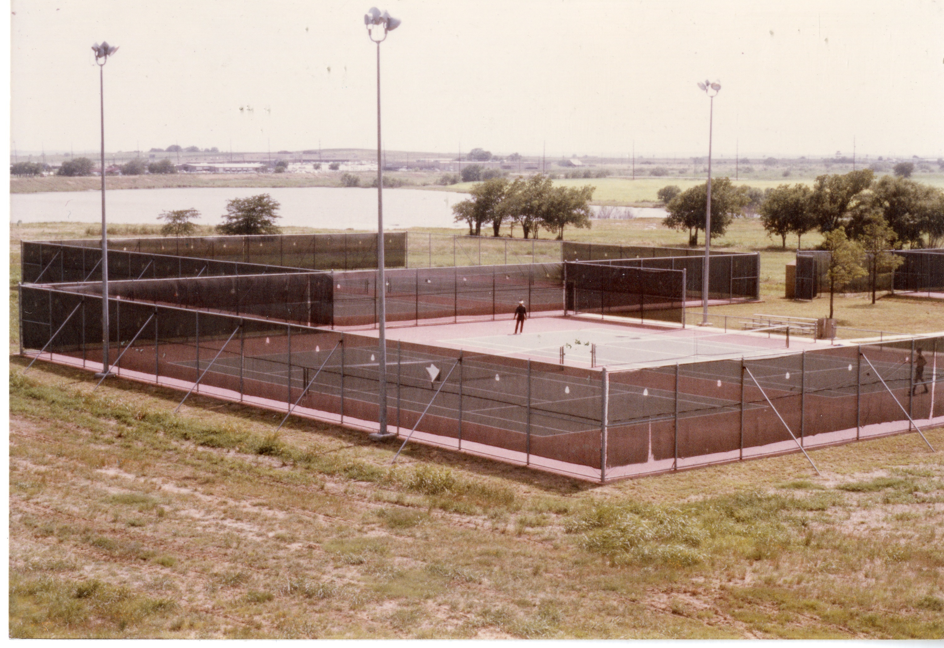
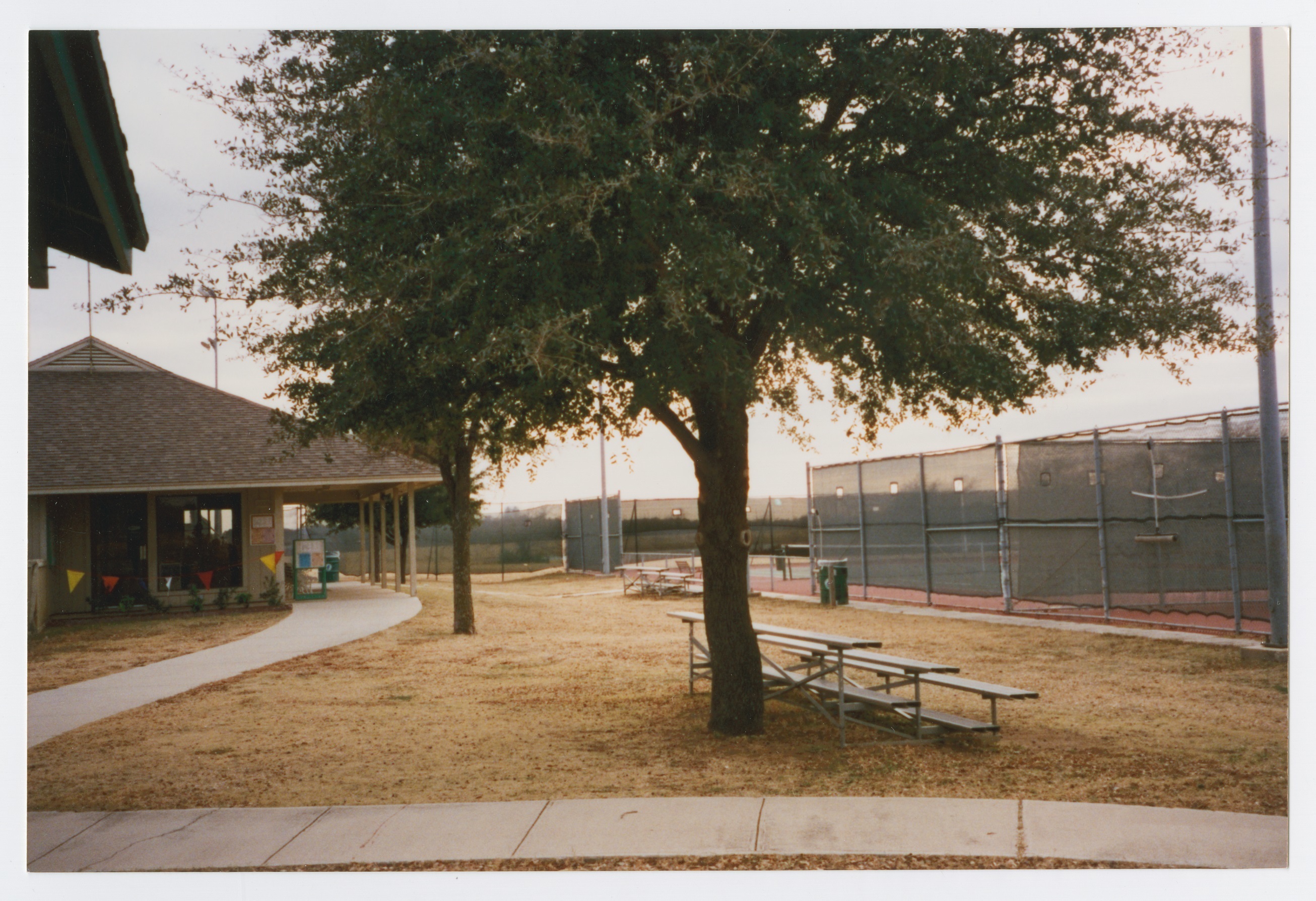
The Recreation Center was completed in 1979 and the tennis courts and two baseball fields were constructed in late 1978-80.
The softball fields, picnic areas, and soccer fields were constructed in 1992. Additional facilities have been added over the years.
In 2001, the Denton County Historical Commission saved one of the county's historic iron bridges. "The Denton Parks and Recreation Department, along with Denton County House Movers and a contractor, moved the bridge from County Line Road and placed it in North Lakes Park over a small creek.
Flood Control and the Lakes
Denton sits in the Trinity River Watershed and has three major streams: Cooper Creek, Hickory Creek, Pecan Creek, and their tributaries. Over the years, all three of those major streams have been studied in detail and a series of land treatment measures were implemented by both landowners and cities to mitigate watershed protection, flood prevention, and sediment control.
“Devastating and costly floods during the early 20th century led the U.S. Congress to pass the Flood Control Act of 1917.” Unfortunately, many of the early levees were unregulated and poorly constructed. This brought about the Flood Control Act of 1928. It also authorized the U.S. Army Corps of Engineers to design and construct flood-control projects.” Later, the Flood Control Act of 1936, would continue to make flood control a national priority.
This also served another purpose because “the more streets and lawns that built up in that section of the city, the greater the runoff would be and the faster the water would get to the drainage area. City officials had two choices-build retention dams or widen the channel area leading to the southeastern section of the city. Because of cost and logistics, they chose the former.
The Soil Conservation Service would construct and oversee the building of the dams at no expense to the city. The construction took place from 1974-1975.
Two stormwater features were created called Soil Conservation Services (SCS) Hickory Creek Basin Retarding Ponds #16 and #17.”
The North Lakes flood control project was fully tested after a heavy rain that occurred in the early part of 1977 and was considered a success.
The Soil Conservation Service later became the NCRS, National Resource Conservation Service, and does yearly inspections on the two dams.
Today
North Lakes currently has the following amenities:
- .85 Mile trail (soft surface)
- 1.32 Mile trail (concrete)
- 2 Lakes
- 3 Pavilions
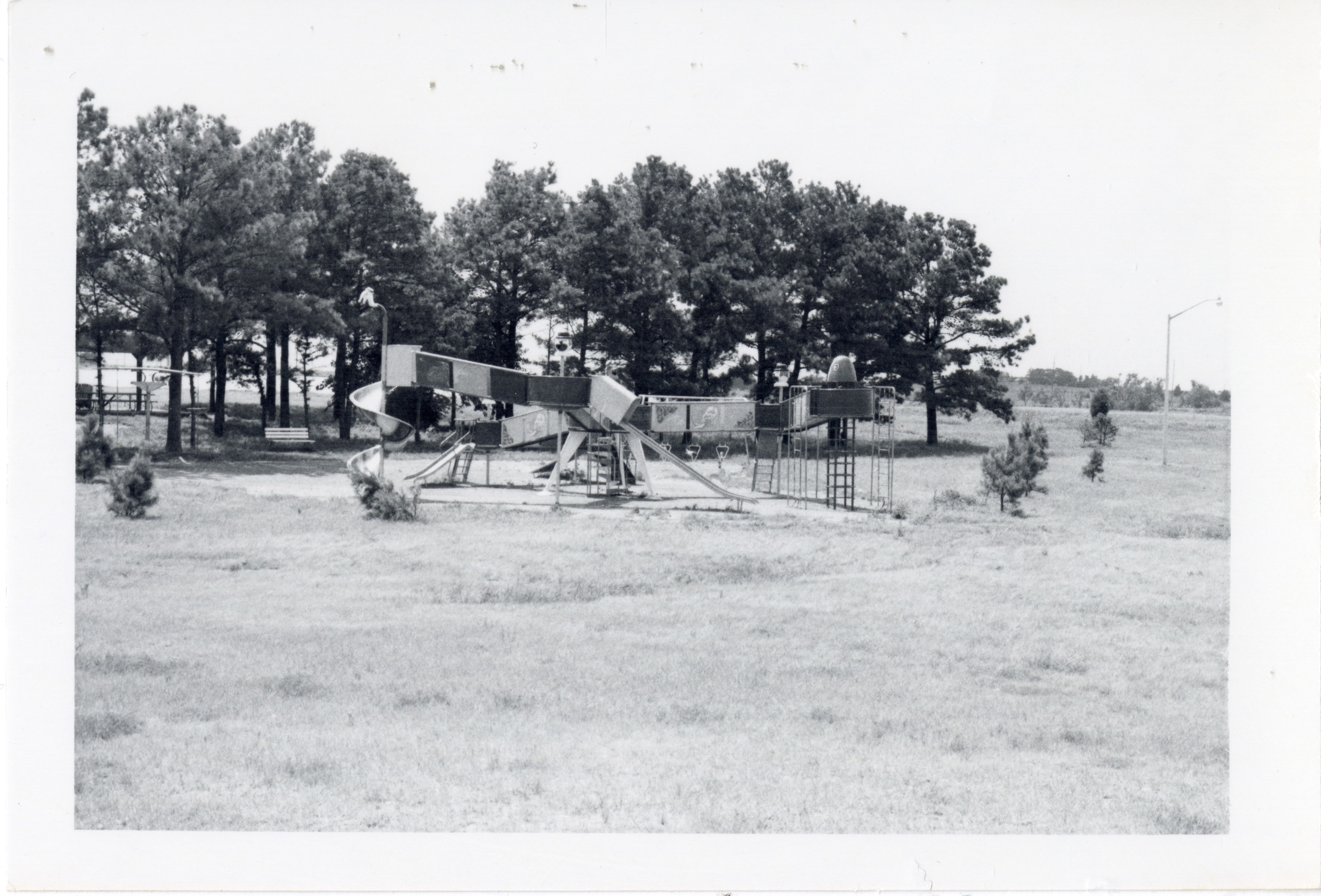
- 3 Playgrounds
- 351 Acres
- 4 Grills
- 40 Bleachers
- 49 Picnic
- 7 Shade structures
- Basketball Court
- Bridge
- Drinking fountains
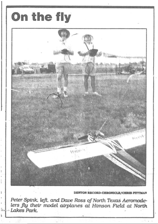
- Radio-control model aircraft runway
- Recreation center
- Restrooms
- Sand volleyball court
- Security lighting
- Sports Complex
Sources
- 1. "Project Funds Eyed. Flood Control Sought For Part Of City. Jan. 6, 1971.
- 2. Resolution approved on Dec. 14, 1971.
- 3. "Dual Purpose Lake Project Finally Becoming Reality,” Denton Record-Chronicle. 6/25/1971
- 4. Linking Ecology and Ethics for a Changing World: Values, Philosophy, and Action. Netherlands, Springer Netherlands, 2014.
- 5. Texas Floods: April-May-June, 1957. State of Texas, Board of Water Engineers.
- 6. Conversation with Bob Tickner, former Superintendant of Parks Planning for the City of Denton. 4/7/2023.

